Land surveying is a detailed study or examination that involves the gathering of information through field measurements, questionnaires, or the analysis of legal documents. It also utilizes analytical techniques to aid in the planning, designing, and setting of property borders. Using mathematics, sophisticated software, and cutting-edge technology, land surveyors help measure and map the environment around us.
Surveyors are needed by businesses in a variety of sectors to assess huge land parcels and provide them with precise mapping and measurements. But one problem with conventional surveying techniques is the amount of time it typically takes to produce accurate maps of a land area.
However, unmanned aerial vehicles (UAVs) or drones are changing the narrative and enhancing surveyors’ operations. Land-Mark Professional Surveying, Inc. is one of the companies leading the charge toward improving land surveying techniques in today’s modern world. Using cutting-edge drone technology, our experienced staff have delivered several land surveying projects across El Paso and the entire Southwest region.
Do you have a project that needs to be delivered with speed and utmost accuracy? If so, contact us online or call (800) 246-1681 today.
Drone Surveying
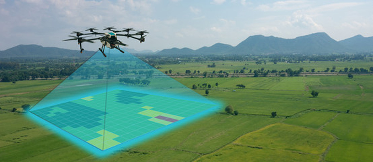
As mentioned earlier, surveying is the process of mapping the environment using various equipment and techniques. Drone surveying is essentially the same thing, but instead of using conventional tools to do the survey, we make use of a drone.
Surveying a piece of land with a UAV is also known as drone mapping. Hundreds of photos are taken while the drone is flown over a piece of land by its operator. The photos are then stitched and layered together using computer software to produce a representation of the location.
Why use a Drone to Survey?
You might be wondering whether using a drone is better than utilizing conventional techniques. Well, the simple answer to that is yes. Drones are more advantageous in numerous ways.
Using unmanned aerial vehicles for surveying and mapping has a number of benefits, some of which are listed below:
- Cuts Back on Fieldwork and Survey Expenses.
Up to this day, one of the most time-consuming parts of many projects has been gathering land data using conventional surveying techniques. Topographic data can be collected by a drone up to five times more quickly and with less labor than using land-based techniques. Drone technology is transforming the nature of the land surveyor’s job, effectively enabling them to complete more work in less time. In the end, this makes it possible for surveyors to produce survey data more quickly and inexpensively.
- Gives Precise and Thorough Information
Drones have a high degree of accuracy. Drone surveys are frequently expected to be within two centimeters of the actual location. Most drones even offer more accurate measurements than that.
- Quickly and Safely Survey Areas
Surveyors are now able to deploy quickly and map virtually anywhere thanks to unmanned aerial vehicles. Drones allow surveyors to access regions that were previously out of reach, dangerously steep, or inhospitable to traditional measurement equipment.
By using this technique, surveyors’ exposure to environmental hazards when mapping out uncharted territory is reduced.
- Land Development and Management
Drone aerial imagery makes topographic surveys for land development and planning easier. It makes site selection, allotment planning, design, and the actual development of roads, structures, and utilities easier.
Work with the Best Land Surveying Firm in El Paso
We are a professional land surveying firm that can help you work on your El Paso land surveying projects using drone technology to deliver accurate results without wasting time. You can contact us online to learn more or give us a call at (800) 246-1681.