The First Essential Step in Land Development
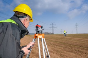
6 FebruaryIf you are interested in developing a new subdivision in west El Paso, your first step is to partner with an experienced survey company that provides assistance with land development in the city. Landmark Professional Surveying, Inc., can provide you with the assistance you need throughout the process of developing a new subdivision. It is imperative you do your due diligence on any plot of land where you are considering new construction, and this starts with getting comprehensive surveys before you make an offer on a plot of land. You need to ensure the land is able to support the land development that you are looking to do- and a survey company can help you to make that decision.
Why Do You Need a Surveying Company’s Help for Land Development?
There are many things you need to know when undertaking land development in El Paso, like what the boundaries are for a given plot of land, what improvements (if any) there have already been to the land, and what easements or encumbrances are found within the land. You need to know if utilities are already on the land, or can be added, and where those utilities are located so you can carve up the land into different plots to develop. You also need to understand the topographical features of the land to make sure the land is well-suited to your desired purposes.
Trust Our Experience and Reliable Services
Landmark Professional Survey offers multiple different types of surveys done by fully-licensed and fully-trained industry professionals. Many individuals and businesses interested in land development in El Paso trust us to do all of their surveying for them because they can work with one company they know will do it all right. We provide our services throughout the Southwest and have been a leading provider of surveying services since 1991.
To learn more about how Landmark Professional Survey can help you get all the information you need to move forward with land development in El Paso, contact us today.
What Are Boundary Surveys and Why Are They Needed?
14 DecemberBoundary land surveys are necessary in order to determine the exact dimensions of a land that has been left to someone else. Not only will these kinds of surveys make sure that the parcel of land matches land spelled out in a will, but also find out whether or not the land has been encroached upon, and if the land is subject to any regulations at both the state and local level. There are phases of a boundary land survey that are necessary in order to make sure the rules are followed when performing one of these land surveys.
Research Must Be Done
The first step of land boundary surveys is to make sure that the land surveyor does the proper amount of research into the records involving the parcel of land. A boundary survey can be good for up to 30 years, or if/when whoever owns the land decides to break it up and sell pieces.
The Records of Boundary Construction Must Be Examined
The state of Texas has recorded data on every piece of land in the state. When the dimensions of a particular piece of land are in question, it is the job of the land surveyor to go through these records, and all documentation, to determine the boundaries. This is why it is essential that an accurate boundary survey is done, which is why you need the services of Land-Mark Professional Surveying, Inc.
Check Into All Boundary Construction Information
Land surveyors will begin at the Texas General Land Office, but this is not the only record office they must check over. They must also head on over to the county clerk, the county appraisal district, utility companies, and any other departments that may have any information about the piece of land in question. From all of this information, a land surveyor will create a sketch of the land based on the information that was uncovered.
The Field Work and Final Survey
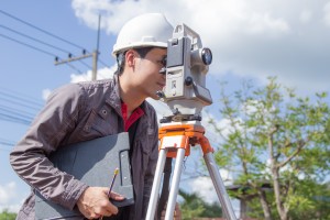
After all records have been looked at, and a sketch has been created, it is time for some work out in the field. At this time, it is time for an actual survey, and a land surveyor may use the aid of technology such as a GPS device. Once the land has been scanned, and technology has been used to map it out, then a final survey is done, and all lines of the land are located.
When it comes time for a land boundary survey, Land Mark Professional Survey, Inc., is able to handle such survey. Contact our offices today for more information.


