What a Land Surveyor Can Tell You About Your Property
28 December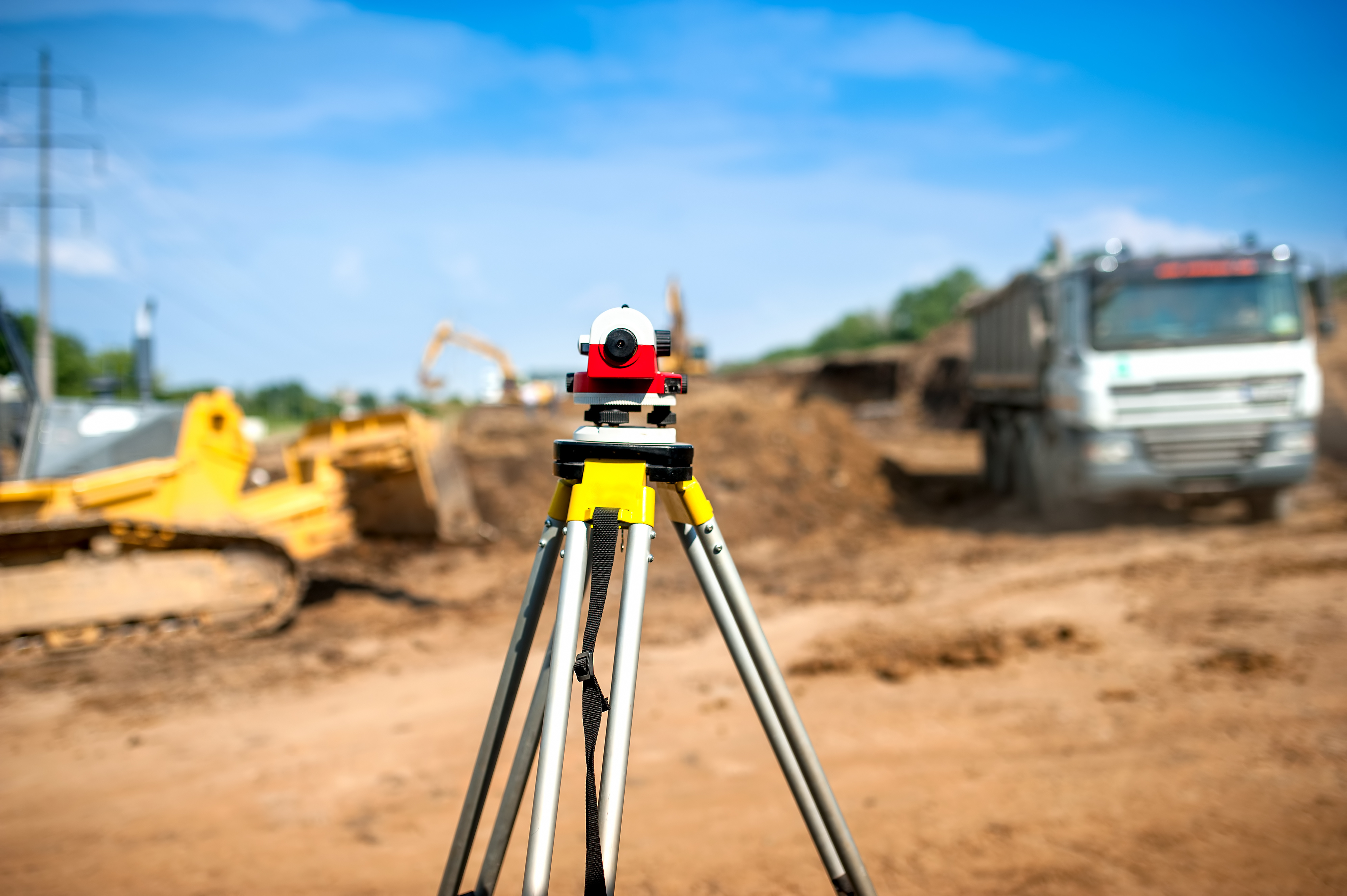
A land surveyor has a wealth of information available and can tell you extensive details about your land. If you are considering doing any developments or making any improvements to land in Las Cruces or surrounding areas, you need to get a surveyor to help you first. Land-Mark Professional Surveying, Inc. can provide all of the information that you need to be fully informed on the features of the land you own or are considering purchasing. A survey also offers great information for selling land.
What Can a Land Surveyor Tell You About Your Property
First and foremost, a land surveyor can tell you what the boundaries are on your property. You need to know exactly what plot of land you own in the Las Cruces area so you do not accidentally put any of your improvements onto property that is owned by someone else. Knowing boundaries is essential when land is sold. It’ also useful info if there is a dispute over who a given portion of a property belongs to. A land surveyor can also tell you much more than just where the boundaries are through.
A surveyor can tell you where easements and encumbrances are. You will also find out where the city has placed utility lines, what improvements previous owners made to the property. With certain types of surveys you can also find out what a property’s elevation is, and what the topographical features of a property are. All of this is essential because you don’t want to end up digging into utility lines, encroaching on easements, or unexpectedly purchasing a house or locating a building in a flood plane.
A survey for Land Planning
There will always be opportunity for city growth it is just a matter of defining where it is possible to grow. Sure there might be a lot of available land, however not all of it might be usable land; there’s where land planning comes in. Land planning involves a series of steps and procedures to determine if the land in question is a good fit for the client. You will also find out whether it’s a residential, commercial, or municipal client. The first thing to assert would be the quality and sustainability of the land. To do this, there are a series of surveys that can be done.
Landmark Professional Surveying Inc. offers a wide variety of surveys to provide you with the most accurate and up to date information about the land. You can purchase topography surveys, boundary surveys, and ALTA surveys (for inherited lands). A surveyor can also conduct land improvement surveys, state land surveys, as well as elevation certificates and right-of-way maps.
Getting Help from a Land Surveyor
Land-Mark Professional Surveying, Inc. is here to help if you need an experienced land surveyor. Las Cruces property owners and those considering purchasing property in the area can contact us any time. We will be happy to schedule a survey to obtain detailed information about a given piece of property.
Understanding Boundary Surveys And When They Are Needed
12 October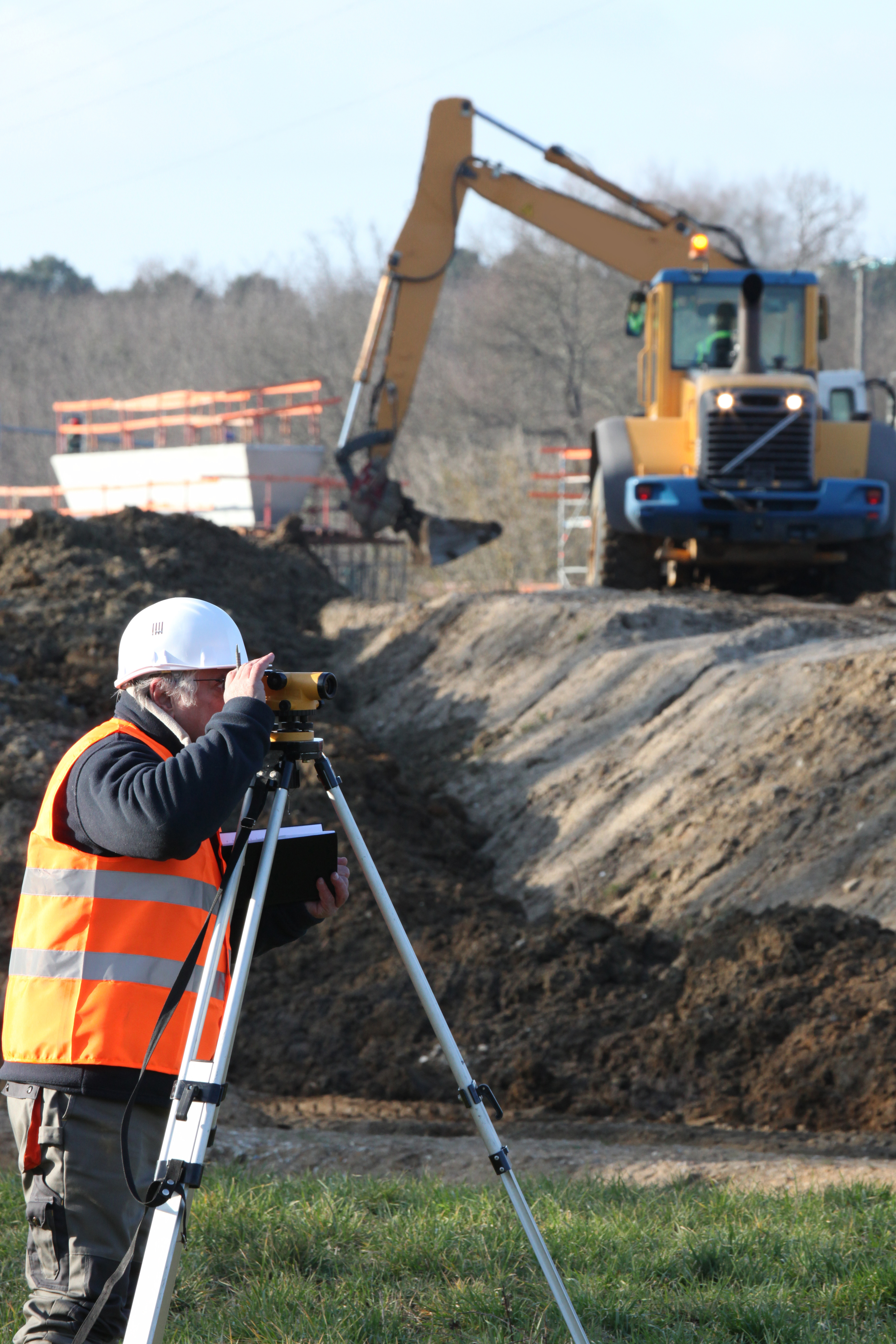
Understanding how boundary surveys work one must first understand what they are. Boundary surveys is the process conducted to determine property lines. Surveyors define true property corners of a parcel of land. Even more so, boundary surveys in Las Cruces aim to formally establish the extent of a given parcel. They comprehensively outline the extent of the property. This allows for landowners and land buyers alike to be fully conscious of the lines surrounding their land. It also permits them to have accountability of their land and that of their neighbors.
Everyone Should Be Informed Of Boundary Lines
The main reason why prospective property owners would need a boundary survey is buying a piece of land. A buyer need to know the size of the land they will buy, but also, specifically where each of the boundary lines might be drawn. This allows for both parties (the buyer and the neighbors) to maintain a civil and mutually beneficial relationship.
The second reason why they might need to conduct a boundary survey is to plan to modify or create an execution of mineral leases. It is often common that landowners decide to use their land for different activities in which they might need to construct and/or otherwise sell part of the land. In this case, a person wants to be completely confident of the set boundaries. Lastly, the state requires a boundary survey to to expand and/or build any state/government related project. In these instances, an owner really needs to know what part of land is available to offer the government.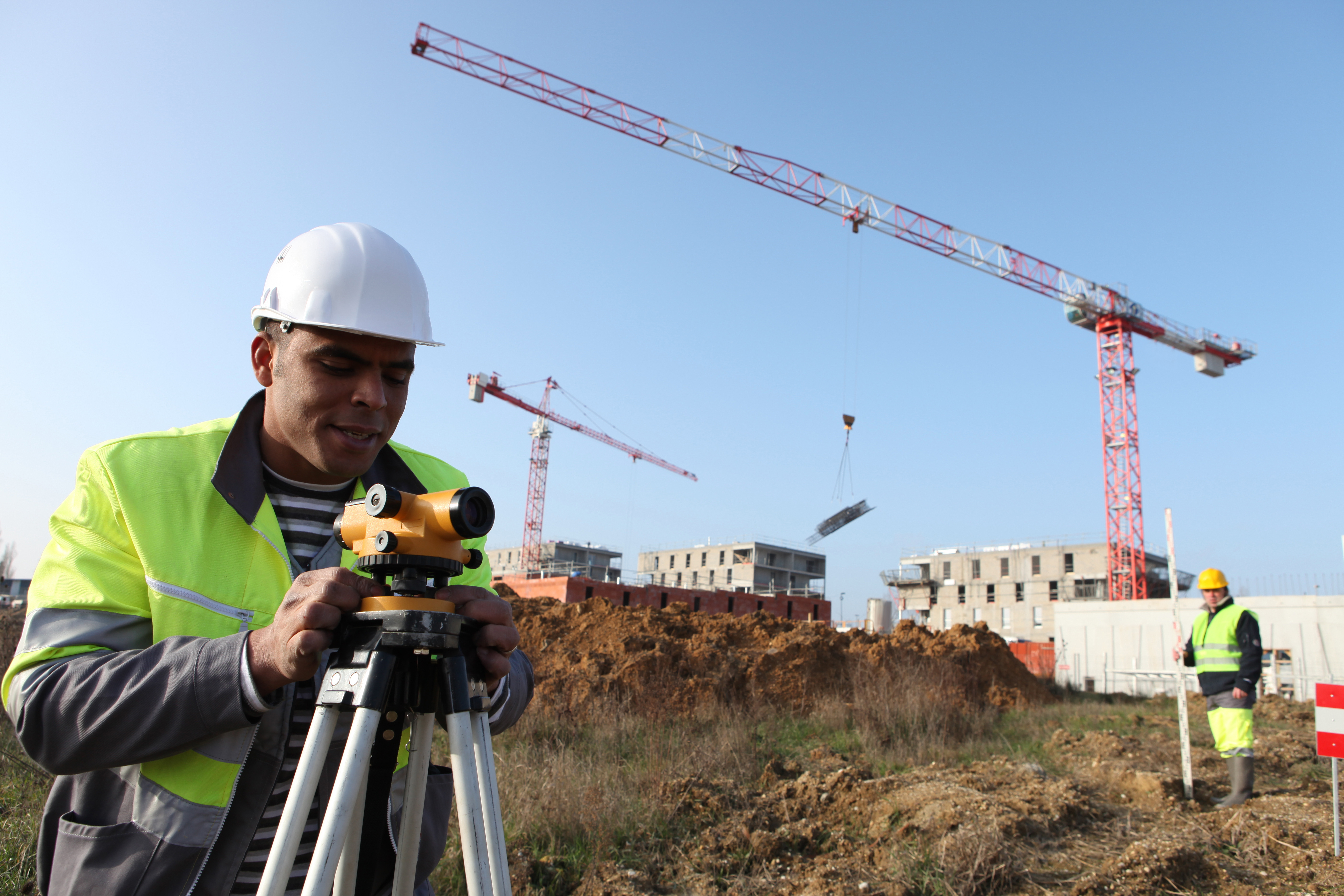
Contact an Expert on Boundary Surveys
At Land-mark Professional Surveying, we have on-field trained personnel. Our experts are ready to answer any questions you have about your land. If you are a current landowner or if you are considering purchasing some land, don’t hesitate to let us know and we will guide you throughout the process. Call or visit us today at Land-mark Professional Surveys to make an appointment for a boundary survey in Las Cruces.
How Boundary Surveys Can Help Resolve Disputes
13 May
As the name suggests, a boundary survey in El Paso can clearly mark where your property ends and your neighbors begins. At Land-Mark Professional Surveying, Inc. we can provide such services to a property owner. This is a professional and accurate way of determining rightful boundary lines. Boundary surveys help settle disputes of other types as well, including some of these examples below.
Boundary Surveys Provide Irrefutable Proof
A boundary survey in El Paso is an excellent way to determine where you can build on your property before the work even begins. Spacious backyards are great to have but can sometimes become a source of complication when the boundaries are not so clearly set as with other types of homes. In this case, you would be better off having boundary surveys conducted before any additions are made to the property. The limits of the property you have is also important to know when you are planning to pass on your estate to a loved one after death. Professionals in the industry use metal bars to mark property lines and this is generally considered irrefutable legal proof.
Useful Documentation
It is also a useful document when you go to sell your property because it saves any potential buyer the anxiety of wondering where the property lines are. You will know exactly what is and is not included in the purchase.
At Land-Mark Professional Surveying Inc., we understand all of the latest techniques when it comes to professional boundary surveys and other types of land surveying. A boundary survey in El Paso can be easily conducted and recorded for complete accuracy for legal and personal reasons. If you are considering a land survey of any kind, then contact us today!
What Are Boundary Surveys and Why Are They Needed?
14 December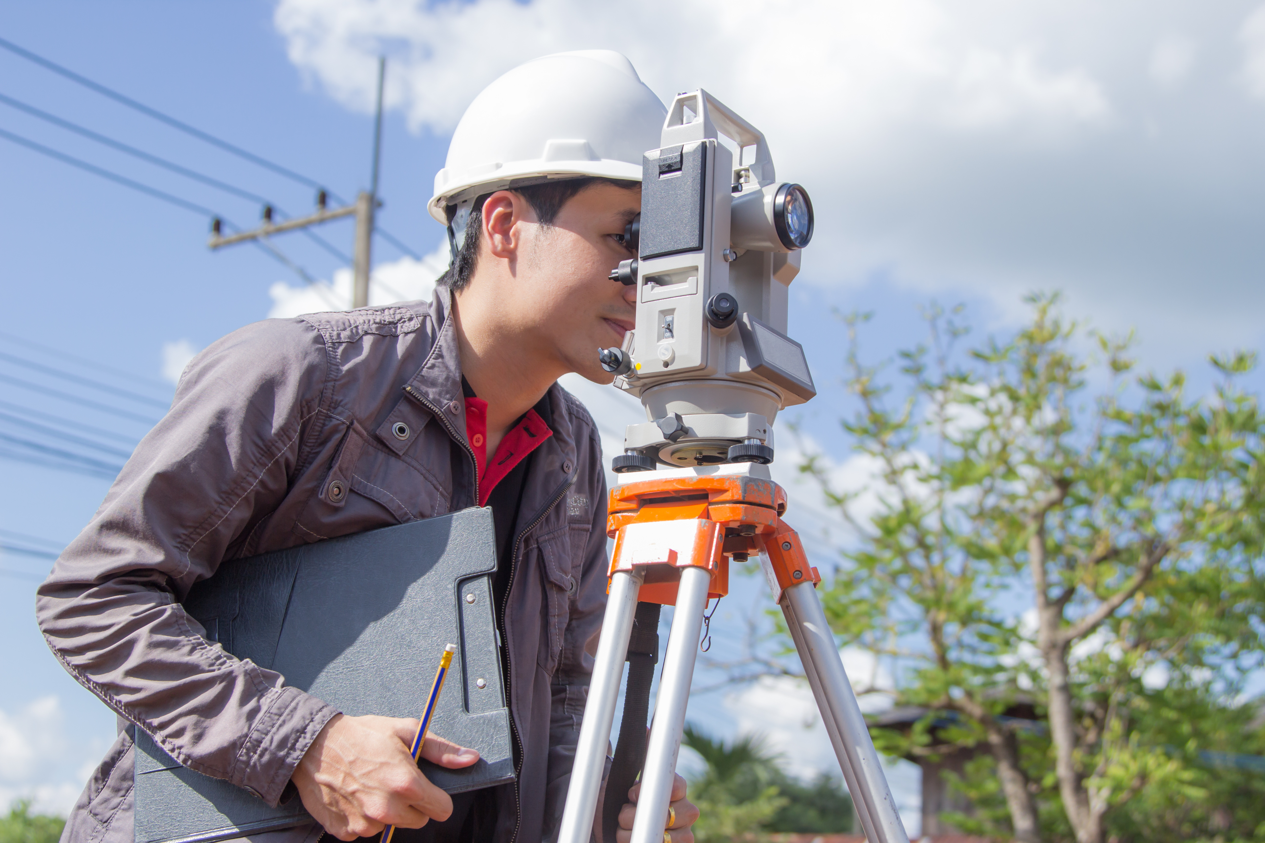
Boundary land surveys are necessary in order to determine the exact dimensions of a land that has been left to someone else. Not only will these kinds of surveys make sure that the parcel of land matches land spelled out in a will, but also find out whether or not the land has been encroached upon, and if the land is subject to any regulations at both the state and local level. There are phases of a boundary land survey that are necessary in order to make sure the rules are followed when performing one of these land surveys.
Research Must Be Done
The first step of land boundary surveys is to make sure that the land surveyor does the proper amount of research into the records involving the parcel of land. A boundary survey can be good for up to 30 years, or if/when whoever owns the land decides to break it up and sell pieces.
The Records of Boundary Construction Must Be Examined
The state of Texas has recorded data on every piece of land in the state. When the dimensions of a particular piece of land are in question, it is the job of the land surveyor to go through these records, and all documentation, to determine the boundaries. This is why it is essential that an accurate boundary survey is done, which is why you need the services of Land-Mark Professional Surveying, Inc.
Check Into All Boundary Construction Information
Land surveyors will begin at the Texas General Land Office, but this is not the only record office they must check over. They must also head on over to the county clerk, the county appraisal district, utility companies, and any other departments that may have any information about the piece of land in question. From all of this information, a land surveyor will create a sketch of the land based on the information that was uncovered.
The Field Work and Final Survey
After all records have been looked at, and a sketch has been created, it is time for some work out in the field. At this time, it is time for an actual survey, and a land surveyor may use the aid of technology such as a GPS device. Once the land has been scanned, and technology has been used to map it out, then a final survey is done, and all lines of the land are located.
When it comes time for a land boundary survey, Land Mark Professional Survey, Inc., is able to handle such survey. Contact our offices today for more information.