Every Good Engineer Starts With a Topographic Survey
16 July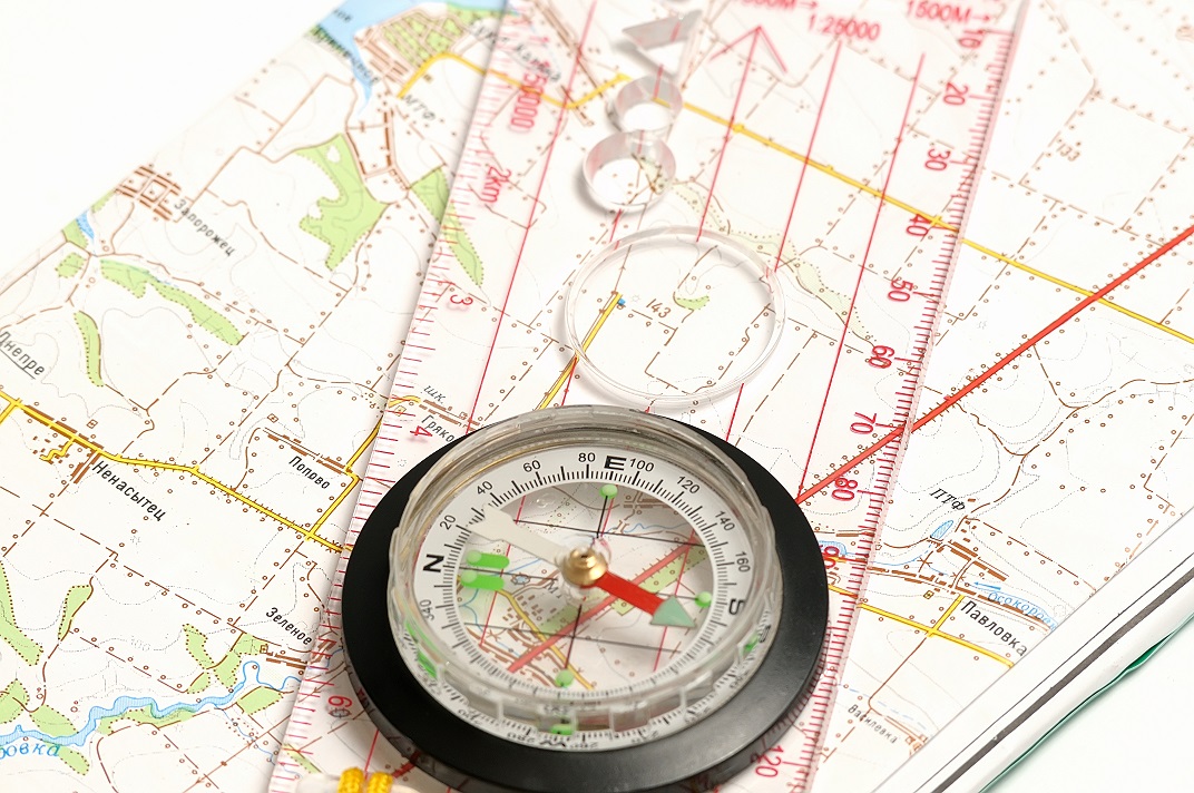 Whenever an engineer begins to sketch out a construction project, they cannot use an ordinary map. This is because an ordinary map will not tell them everything about the land they want to build on. It may explain what is there, like cities or major landmarks, but it will not explain dimensions, heights, or what could be underneath. This is where the need for a good survey comes in. However, you do not want to use just any survey, but rather one that will outline the land in detail. This means getting a topographic survey done. Any engineer worth their salt will want to start with one of these surveys first. In the Odessa area, there is one company that can help you get the quality survey you need for construction. Land-Mark Professional Surveying, Inc., is a quality company that can help you get your construction project started off right.
What Is a Topographic Survey?
A topographic survey is required whenever you are trying to get an idea of any property you own. These surveys focus on every and any aspect of the land. Trees, hills, valleys, even manholes will be included in the reports for these surveys. All this info is designed to let you know where things are, and what might be obstacles too big to build over. this kind of information is useful to engineers, architects and construction workers. All of them rely on the information provided in order to stay on time and keep their people safe.
Why Do I Need a Topographic Survey?
Getting a topographic survey is useful whenever you are planning a construction project. The info provided will help your engineer and architect decide the best place to begin construction or what they need to build around. Having the lay of the land spelled out in dimensions and graphs will also help them see which areas of your land need to be avoided. This info helps an engineer decide how to proceed with the project. In order for this work, of course, you need a quality topographic survey to be conducted.
Contact Us Today
If you are planning any kind of construction project, then you need a company that understands the local Odessa area. Let Land-Mark Professional Survey help you get started on construction. We offer a wide variety of surveys and our experts have years of experience. Call today to set up an appointment!
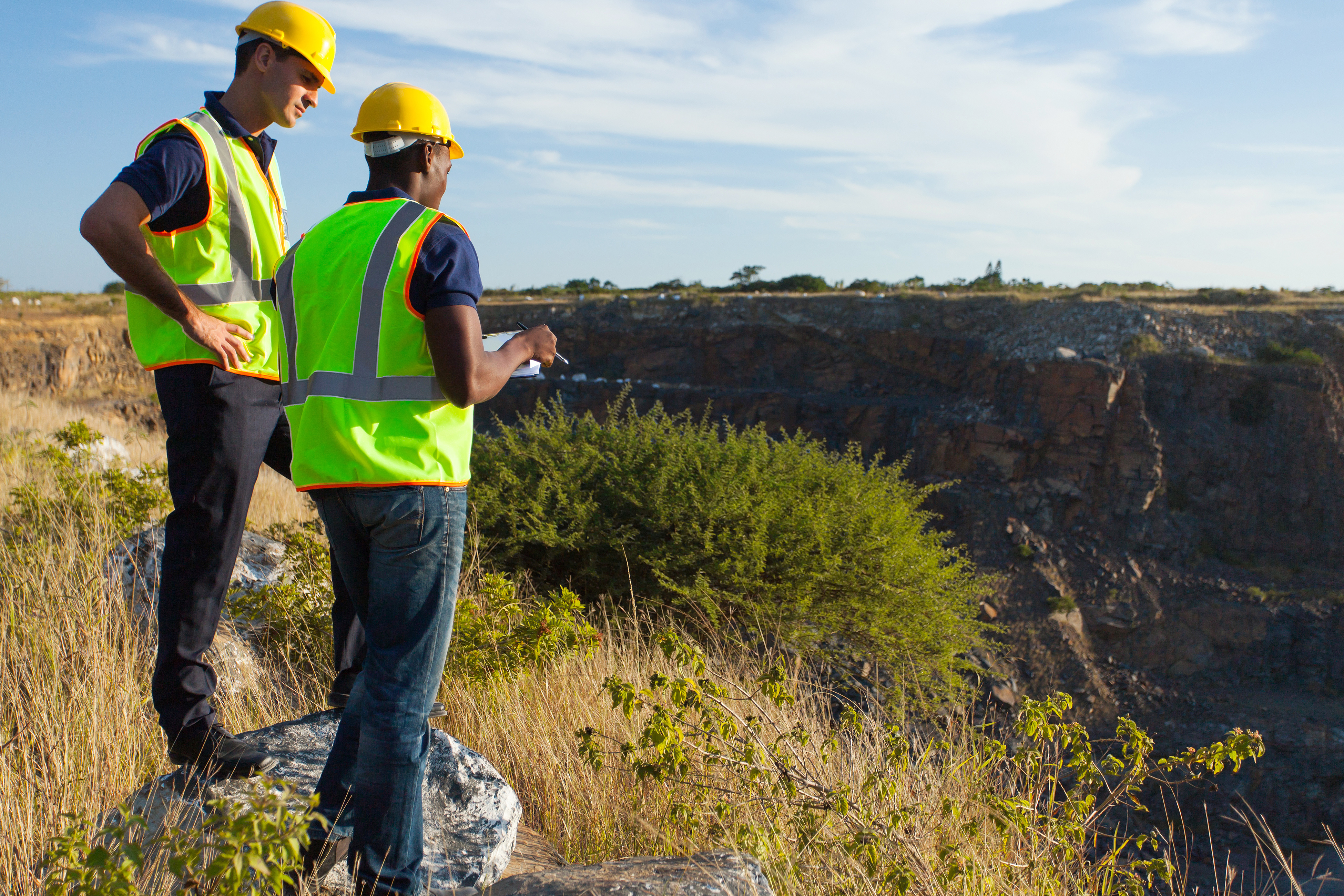
What Does a Land Surveyor in Odessa Do?
13 February We get asked all the time — What does a land surveyor in Odessa do? The truth is, the information that we provide within the construction industry is invaluable. We create maps and reports that help avoid catastrophic mistakes all the time. Building in one place or another on a plot of land can affect the timeline, building materials and equipment, and more. We provide information to help a project run smoothly and effectively.
What Does a Land Surveyor in Odessa Do?
A land surveyor is often hired to find the boundaries of a piece of property. This is valuable info for settling disputes, building roads, and creating maps. However, the job duties don’t stop there. They will also look into old surveys conducted of the property at hand. A surveyor will also take his own survey of the land utilizing special tools and expert knowledge. They will create a report and map of the area. The info is so accurate it is actually legally binding. The report that they create can help contractors find the most beneficial areas for building, drainage, parking lots, roads, and so on.
How Can a Land Surveyor Help Your Project?
A land survey of your building project is actually extremely necessary. You don’t want to start a project without a detailed account of your property and land conditions. The architecture will depend on the info provided. If you had previously decided to build in a certain portion of the property but then find out that water will flood the area when it rains you have to make adjustments. A land surveyor in Odessa can help you decide if altering the area would be sufficient to solve the problem. If problems arise that may have been unforeseen to you they can provide insight. This can include land that is extremely rocky and requires special equipment to dig into. Or perhaps soil that is too soft to build a foundation on.
Contact Us Today
If you are about to embark upon a new building project be sure to call our land surveyors in Odessa in to provide the info you need. We can help your building and timeline run more smoothly without the annoying hangups due to unforeseen circumstances. At Land-Mark Professional Surveying we provide thorough, reliable service. Contact us today before you get started on your next building project in Odessa.
Why the American Land Title Association Created the Survey
28 June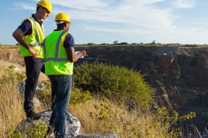 Why the American Land Title Association Created the Survey
When you see the finished product after ordering an ALTA survey in Odessa, you might wonder about the reasons and the history behind the profession. Landmark Professional Surveying has been in business for years and they understand every aspect of the industry including the survey’s history and why they are needed.
However, the average person might be surprised to find out the history of surveying goes back further than expected. As far back as 1400 B.C., the ancient Egyptians used a system of dividing land so it could be properly taxed. Around 120 B.C., the Greeks developed a system of geometry that was used in dividing land parcels. The Greeks built their system-build upon the work their Egyptians cousins did before them.
Modern ALTA survey Odessa
The modern ALTA survey in Odessa has its background in some of these ancient systems. In fact, the American Land Title Association created the modern survey for some of the same reasons ancient civilizations used them for. The division of land for taxation purposes are just a few of the cornerstones of the modern survey as we know it today.
Landmark Professional Surveying was created in 1991 and has since become one of the biggest land surveying companies in El Paso and surrounding areas. They have an expert staff of highly qualified individuals who understand all of the latest modernization in the ALTA survey. If you take just a few minutes to look at their website, you’ll see the various projects they have successfully completed.
The American Land Title Association created the survey so the modern world would be divided into proper parcels for taxation and construction purposes. It’s interesting to note that these modern surveys have a historical background that reaches back into the ancient past. Contact Landmark Professional Surveying to find out more.