Topographic Mapping: Basics and Benefits
23 September

Topographic mapping is at the heart of what we do here at Land-Mark, but often people aren’t sure what it means. It may sound pretty complex, but it’s actually pretty simple and useful. In this article, we’ll briefly discuss what a topographic map is and its uses.
What Is A Topographic Map?
A topographic map is simply a highly detailed map that shows the change in elevation between swaths of land or water. Modern topographic maps use contour lines but have used a number of other methods in the past. They usually cover large areas of land, as smaller maps of this type qualify as chorographic maps—though those are often labeled as topographic anyway.
As can be seen in the picture above, the contour lines on the map are associated with a number that denotes the elevation on that line. The closer the lines are, the more drastic the change in elevation. Topographic maps can be used to show natural and man-made elements.
The Uses of Topography
Topography has a vast array of uses associated with it. Large-scale architecture, for example, needs topography to determine where and how to build. Hiking may also use these maps, as well as mining, civil engineering, and other geographic activities.
Topography With Land-Mark Professional Surveying
Need a topographic map of an area or just have questions about the process? Contact Land-Mark today, and get started on your topographic needs!
Every Good Engineer Starts With a Topographic Survey
16 July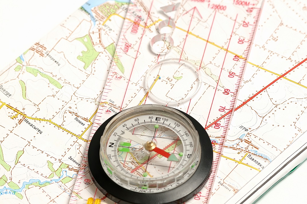 Whenever an engineer begins to sketch out a construction project, they cannot use an ordinary map. This is because an ordinary map will not tell them everything about the land they want to build on. It may explain what is there, like cities or major landmarks, but it will not explain dimensions, heights, or what could be underneath. This is where the need for a good survey comes in. However, you do not want to use just any survey, but rather one that will outline the land in detail. This means getting a topographic survey done. Any engineer worth their salt will want to start with one of these surveys first. In the Odessa area, there is one company that can help you get the quality survey you need for construction. Land-Mark Professional Surveying, Inc., is a quality company that can help you get your construction project started off right.
What Is a Topographic Survey?
A topographic survey is required whenever you are trying to get an idea of any property you own. These surveys focus on every and any aspect of the land. Trees, hills, valleys, even manholes will be included in the reports for these surveys. All this info is designed to let you know where things are, and what might be obstacles too big to build over. this kind of information is useful to engineers, architects and construction workers. All of them rely on the information provided in order to stay on time and keep their people safe.
Why Do I Need a Topographic Survey?
Getting a topographic survey is useful whenever you are planning a construction project. The info provided will help your engineer and architect decide the best place to begin construction or what they need to build around. Having the lay of the land spelled out in dimensions and graphs will also help them see which areas of your land need to be avoided. This info helps an engineer decide how to proceed with the project. In order for this work, of course, you need a quality topographic survey to be conducted.
Contact Us Today
If you are planning any kind of construction project, then you need a company that understands the local Odessa area. Let Land-Mark Professional Survey help you get started on construction. We offer a wide variety of surveys and our experts have years of experience. Call today to set up an appointment!
An Accurate Topographic Survey Is Extremely Important
24 January If you’ve never heard of topographic surveys, this is your chance to learn all about them. When it comes to building homes, businesses, and other edifices, topographic surveys can make the difference between a good building and a bad one. If you’re in need of a topographic survey, Land-Mark Professional Surveying, Inc. can help you out. But first, let’s go over what it is and why it’s important.
What Is It?
Topographic surveys are surveys that help identify and map out plots of land and terrain. Surveyors will point out any trees, bodies of water, buildings, and more. All of the detailed information mapped out in the survey will help future residential and commercial companies determine whether or not the land they are interested in is worth it based on the land marks and other things on the specific property. Engineers can also use these types of surveys when they are planning to build or expand current roads. Most building projects require this kind of survey in order to get more information on the land in question. It’s very important for builders and other important people to know as much information as possible about the land they will potentially be working with.
Elevation Levels Are Vital
A topographic survey from Land-Mark Professional Surveying, Inc. will show various elevations as well as other existing landmarks, buildings, and features. Various elevations will be great determining factors on where and how you will build what it is that you are building. Our surveying services really help home builders determine a number of different things when considering a piece of land. If you are a home builder, our team can help you with a comprehensive topographic survey. Builders need a survey like this to determine how to divide land, where to build, and essentially how the entire development needs to take place.
Accuracy Is Everything
It is very important to receive an absolute accurate topographic survey of the land you are looking at. With our team at LandMark Professional Surveying Inc. you will always get the highest quality of work and customer service. We know how important it is to have an accurate description and depiction of the land you are working with.
There’s not a lot of room for mistakes when it comes to building. Knowing that you have hired a reputable company will definitely put you at ease. Many builders and developers throughout the area trust our team and we intend to keep it that way! The only way to get the best results is to hire the best company. Don’t hire blindly without doing research on the company you are considering. Some simple research will put your mind at ease when you have the best company working with and for you.
LandMark Is Your Man!
If you are in need of a reputable and trustworthy company to perform topographic surveys on specific land for you, LandMark Professional Surveying Inc. is the company for you! We constantly strive to give the best customer service possible and never want our clients to leave disappointed. If you’d like more information on the services we offer, contact us today!
A Topographic Survey in El Paso Explained
13 December LandMark Professional Surveying, Inc. can help you get all that you need from a topographic survey in El Paso. We are a professional company that has been in business for over 25 years. We understand the different kind of surveys and which is best for each individual need of our clients.
What is a Topographic Survey?
These particular surveys identify and map out terrain and terrain features. This includes both natural and man made features. For instance surveyors will identify any trees, hills, bodies of water, fences, buildings, streets, manholes, utility lines. They will map out these features with detailed info concerning elevation. Surveyors will create a map with detailed contour lines. Engineers often use these types of surveys as a base map for residential and commercial building projects. They are also used when engineers design roads.
How is This Type of Survey Different?
Just about every building project starts with a survey. Most surveys will show information about boundaries, but a topographic survey does go a step further. LandMark Professional Surveying, Inc. accomplishes these surveys by showing different elevations on the property that you intend on buying or already have.Not only that, seeing existing features on a map will help you make decisions concerning your structures. You will have a good indication of the elevations on your property and how to build a house or other structure and prevent runoff and water from draining back into the foundation.
Conducting Surveys for Legal Purposes
Very often a topographic survey will come after one of the aforementioned boundary surveys. Together, these two different types offer a complete package. A topographic survey in El Paso and a boundary survey are important for several different reasons. First, you need to be sure that everything is done legally as far as building goes or find out exactly where an existing property lies before you put in an offer on it. In this case having professionals conduct surveys makes good sense. You may have to budget for the extra expense, but in the long run, the price is worth it.
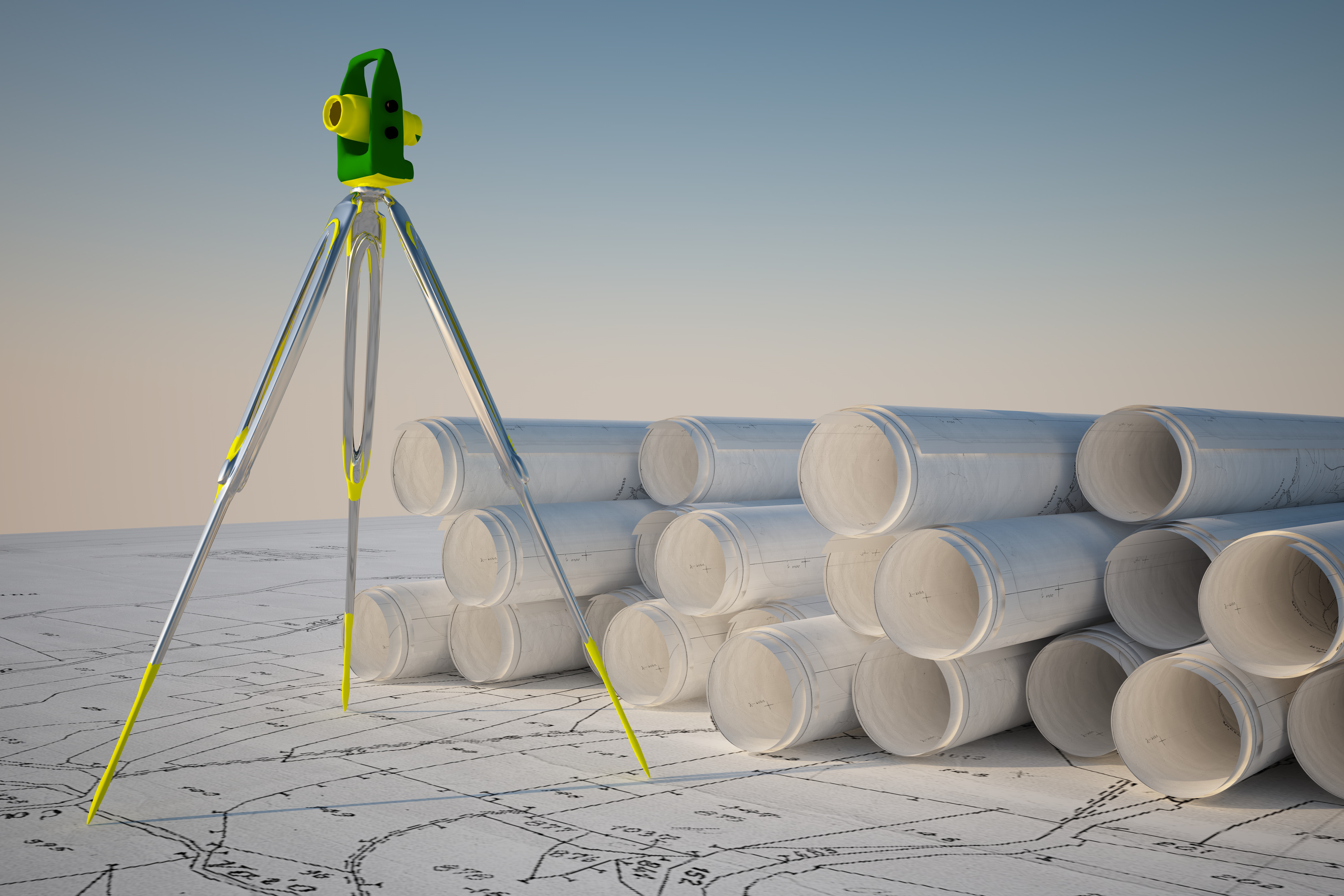
LandMark Professional Surveying has a licensed and qualified people on their teams as well as the latest in innovative technology to accomplish these goals.
The Importance of Topographic Surveys
5 August Topographic surveys in Las Cruces NM are going to give you a complete picture of a plot of land. The information provided by these advanced surveys is needed. This way you can make informed choices when deciding the value of a piece of land for a particular purpose. You also need a high-quality and comprehensive topographic survey when planning development and beginning the construction phase. Land-Mark Professional Surveying can help.
Benefits of Topographic Surveys in Las Cruces, New Mexico
If you are a home building company, you already know the value of topographic surveys in Las Cruces NM. You will want a complete topographic survey of a plot of land where you plan to put your new building project so you can understand exactly what it is you are embarking on.
Topographic surveys in Las Cruces, NM help home builders. This way, builders understand what features exist on the land they are planning on developing. By using the information from the surveys, developers can determine exactly how to divide the lots, where houses should go, and how development can take place. When developing an attractive subdivision, the fullest potential of the land can be used.
Choose Us For Your Topographic Surveys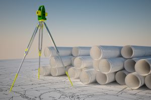
When you need topographic surveys in Las Cruces NM that cover a big plot of land and you need them to be accurate for your planning of suburban development, there is only one company to call. For this reason, Land-Mark Professional Surveying is trusted by builders and developers throughout the area.
Having a strong team at your side will yield the best results. To learn more about developers with topographic surveys in las Cruces NM, give us a call today. We will conduct your survey in a timely manner. A licensed professional will do the survey. This way, your development can begin quickly. Contact Land-Mark Professional Surveying today.
A Quick Guide on Construction Surveys in New Mexico
27 May
Construction Surveys in Las Cruces, New Mexico is an important part of any subdivision that is in the process of development. Land-Mark Professional Surveying, Inc. is highly trained and experienced in conducting the necessary preliminary steps before construction projects are able to begin. We also know just important it is that these projects are carried out properly. Here are some reasons why construction surveying is so critical to the building industry.
Construction Surveys Begin with Land Inspection
One of the most important aspects of construction surveys in New Mexico, includes taking into account the topographical condition of the land. Before any construction can begin, the contours of the land are analyzed. Here in New Mexico, the land is different than other parts of the nation. Our land can be dry and have a mix of sand in the dirt, which is all taken into consideration when assessing the preliminary foundation. These topographical features also includes where the existing drainage patterns are and how the entire area sits in relation to sea level. This is highly important to the elevations that will be used in the construction process. If this part of the process is not properly conducted, it may result in excessive flooding or weak areas in the foundation that cause problems in the future.
Establishing Proper Boundaries
Of course everyone living in a brand new subdivision wants to know where their property starts and where exactly it ends. This is another function of construction surveys in Las Cruces. Surveying the boundary lines includes understanding exactly where the existing points are on the property, so everyone working on the project knows where to position the new construction. 
Workers also need to determine where each individual lot sits and that is the job of professionals in the field like Land-Mark Professional Surveying Inc. Lot lines need to be carefully established in relation to the schools and other municipal buildings that are planned for the area. For more information, contact us today!