Land Surveying: The Best First Step You Can Take
15 July
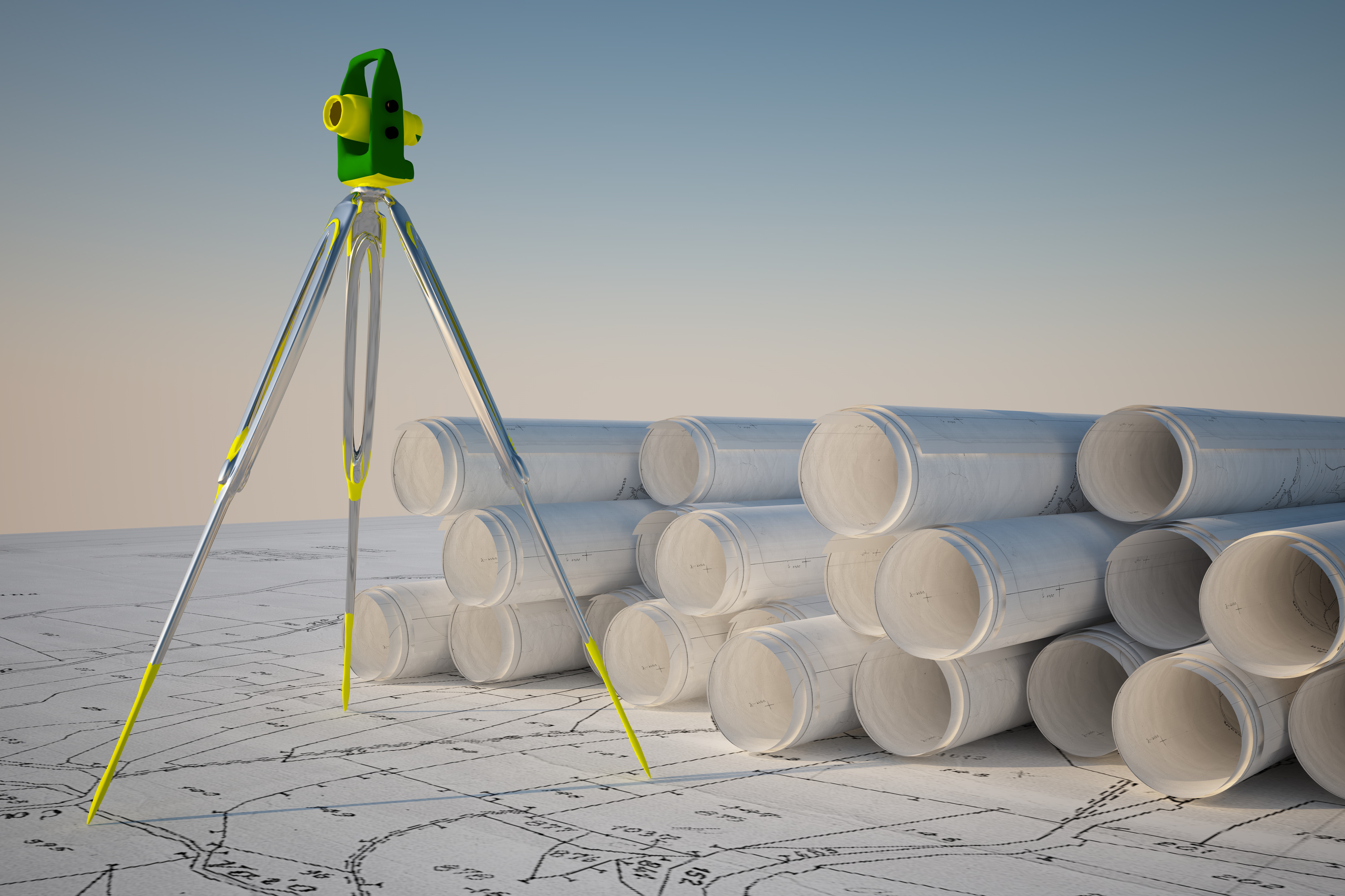
 For many people, owning land is a lifelong dream. If you’ve achieved this dream, you need to look into land surveying services before you break ground and start construction. This way, you won’t face any nasty legal battles in the future. You see, avoiding surveying your land can cause adjacent landowners to seek legal ramifications against you, which can quickly turn your dream of being a landowner into a nightmare.
The Best First Step
When buying land, most people have a somewhat vague understanding of where their land’s borders are. The land seller might’ve said that the land is a few acres across, but how are you to know exactly where your land ends and your neighbor’s beings? This is where we come into play. By using state-of-the-art technology, Land-Mark Professional Land Surveying is able to provide the most accurate information so your dream can proceed without a single hitch. Our services are reliable. In fact, countless individuals and companies alike rely on us for all their land surveying needs.
It’s Time To Get Started!
So, if you’re ready to get started on the right foot, give us a call! We always strive to offer top-notch service to our clients. In fact, we also love talking about our services and processes so you can be as enlightened in the art of land surveying as us! Nothing should stand in your way when it comes to achieving your dreams. Contact Land-Mark Professional Land Surveying today.
Where Technology and Infrastructure Meet
15 June Since 1991 Land-Mark has been at the forefront of the land surveying industry. A lot has changed since 1991, of course. In the early nineties, very few people could imagine that their cumbersome beepers would be transformed into sophisticated mobile devices capable of helping them navigate unknown territory (figuratively and literally), facilitate immediate communication across the globe, provide up-to-date news, take decent photographs, and store hundreds of bits of information. Similarly, technology has found its way to land-surveying and other relevant industries, providing equipment that increases accuracy and efficiency.
We use a variety of equipment, depending on the specific job, land, and project at hand. One of our trusted partners includes the company TopCon. These guys are highly innovative and perfectionists in developing new systems and equipment to improve the construction and planning of infrastructure and land planning. Topcon provides the positioning technology for surveyors, civil engineers, construction contractors, equipment owners, and operators. The geospatial solutions from Topcon have the most in-depth precision measurement for land mapping and surveying.
The Use of Digital Systems in Construction, Infrastructure, and Mapping
As land surveyors, Land-Mark is at the opening stages of a construction project. We form, however, part of the bigger picture that is all infrastructure building and construction. The use of technology in all stages of the construction industry has improved construction’s accuracy, safety, and efficiency.
In 1927, as TopCon points out, the world had 2 billion people. Only about one hundred years later did that number rise all the way to 7 billion. This means thousands of more acres developed, millions of more buildings erected, hundreds of more cities extended and expanded, and a constant and consistent demand for better and smarter building solutions.
A Few Amazing Examples….
Building great structures has always come at a human cost. There is not only a demand for human toil and labor but a high risk of accidents and injuries in any construction site. Any great building or structure you can think up has come at a cost of human lives. Some projects have been more successful than others. The Golden Gate bridge, for example, had 11 laborers died, a neighboring bridge, the Oakland Bay Bridge, had 28 people die in its construction. The World Trade Centers had 60 construction deaths. Recent technology, however, has allowed engineers to survey an area using drone technology without putting human lives at risk. A TopCon project to repair the Great Wall of China would have required workers to traverse a dangerous area. Instead, they sent a drone that was able to take thousands of high-resolution images that could then be input into a 3-D model, that was then used to examine the area and determine what needed to be done.
Measurement instruments have improved the ability for land surveyors like ourselves to enhance our workflow and improve our accuracy. Another great thing that technology offers is that added guarantee of accurate measurements and absolute efficiency. Land-Mark personnel is trained in a variety of high-tech and highly-specialized equipment that will ensure the proper mapping and measurements of your land project.
Explore the Wonders of Accurate Land Surveyors
So whether it is expanding a university campus in the middle of the growing El Paso central area or any other construction project in Las Cruces or Odessa, we are here to provide the most accurate topographic, stand land, improvement, and above and below grown surveying in the Southwest. Call Land-Mark today and find out more about our exciting projects in the area, both private and government work, that will show our dedication and find out about what we can do for your upcoming project.
Digging Deep Into Land Surveying | Looking Beyond Boundaries
17 May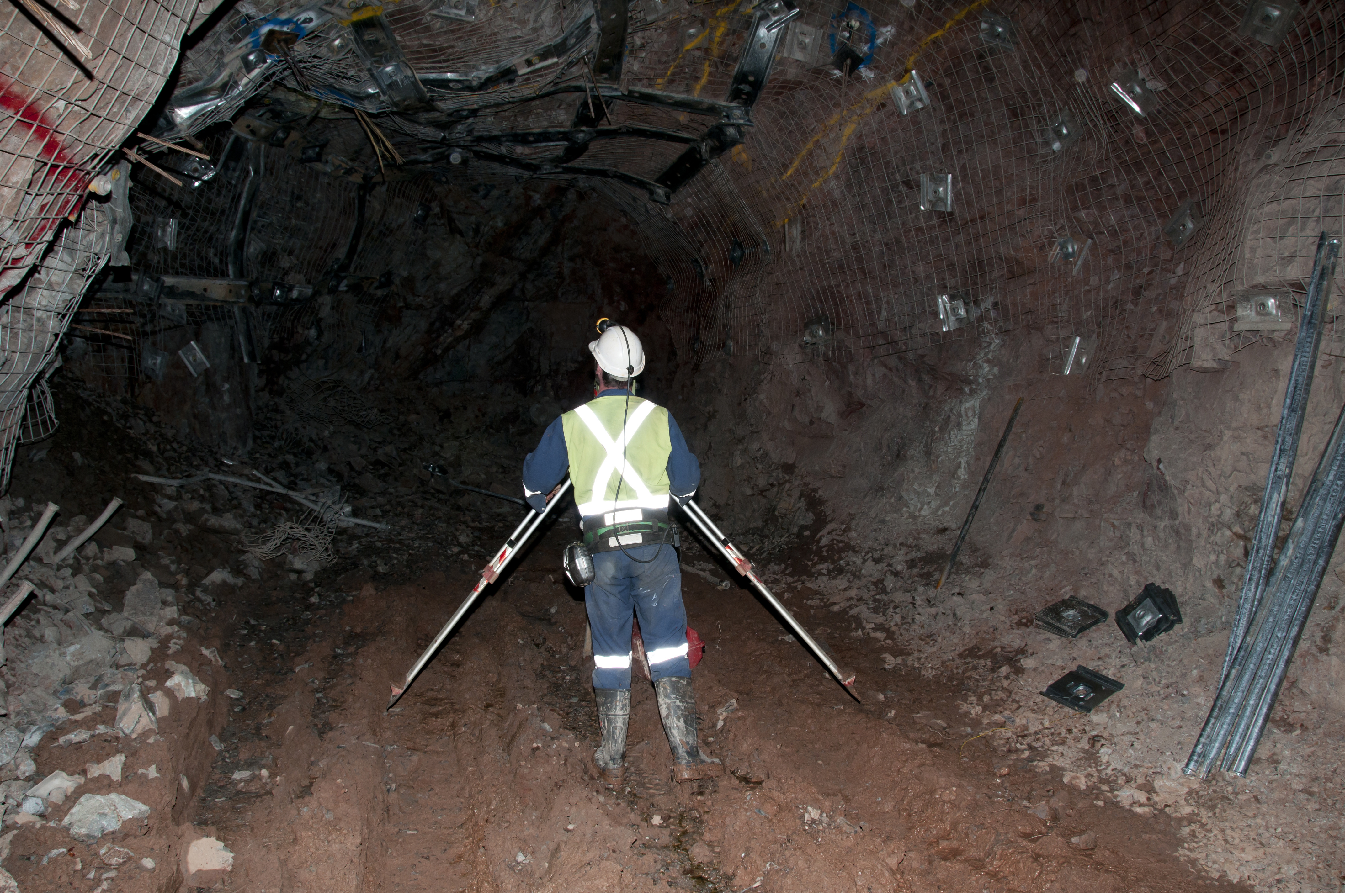
Land surveying may seem like a simple, easily explainable task but it provides much-needed information for a variety of instances. By making these precise measurements, surveyors are able to determine property boundaries, thus avoiding any legal disputes over who owns which part of the land. Land surveyors are mostly used prior to land development. They’re basically the cartographers who draw a map upon which architects will be able to build the dreams of the land owner. Surveyors, along with their handy theodolites, are able to determine boundaries, but they can also do so much more. Keep reading to learn more about the various types of land surveyors out there.
Forensic Surveyors
Not all surveyors measure land to determine boundaries. Forensic surveyors, for example, use their skills to survey and record scenes of accidents. This is done in order to determine potential landscape effects.
Geodetic Surveyors
Ever wonder how maps like Google Earth come to be? Well, geodetic surveyors play a major role in these aspects. By using highly advanced technology, geodetic surveyors are able to measure large areas of Earth. Satellite and aerial observations give the surveyor an astronaut’s point of view, thus giving them the ability to measure Earth itself.
Hydrographic Surveyors
From space, we now go into the ocean itself. Hydrographic surveyors (also known as marine surveyors) use their surveying skills to study harbors and other bodies of water. This is done in order to determine shorelines. Hydrographic surveyors also determine the topography of the ocean floor and water depth, among many other features.
Mine Surveyors
The title speaks for itself but mine surveyors use their surveying abilities to map the tunnels that make up mines underground. They can also survey surface mines in order to determine how many materials have been mined.
Land Surveyors for Your Needs
The wide world of land surveying is incredibly exciting. And, thanks to advancements in technology, land surveyors are now able to survey more efficiently than ever before. It’s necessary to point out that the most common of land surveyors partake in the art of determining boundaries, and they take great pride in helping landowners avoid legal disputes. Our team, at Land-Mark Land Surveying, holds the importance of land surveying close to our hearts. Let us guide the way and shine a light with our theodolites. Contact Land-Mark Land Surveying today to learn more about what we can do for you.
The Path Forward: Understanding the Importance of Land Surveying
19 April Here’s a fun fact for you, did you know that three of the four presidents immortalized on Mount Rushmore were land surveyors? It’s true. George Washington, Thomas Jefferson, and Abraham Lincoln were all proud of land surveyors. It’s a beautiful thought; these men who basically build the America we know and love today also played their part in literally surveying America’s own land. The importance of land surveyors goes as far back as history immemorial. If you’re looking for land surveying assistance in the Southwest region, give Land-Mark Professional Land Surveyors a call!
What Goes Into Land Surveying
Although there have been many advancements in modern technology that have made land surveying as accurate as possible, the basic tenets of land surveying are the same as they were in Washington’s day. The measuring of properties and land in order to determine boundaries is as important in this day and age as it was back when the Louisiana Purchase first went through. Let’s say you purchased some land and you plan to develop said land. Before doing so, you must have it surveyed by a professional land surveyor. Avoiding this can lead to many issues in the future.
The Right First Step
Just imagine, you buy land, develop it, and build a shopping center over it. Then, a few years later, you find out the person who owns the plot of land adjacent to yours wants to develop it as well and a land surveyor determines you built on the neighboring land. This will undoubtedly lead to litigation and other legal issues you’d rather avoid. So, before breaking ground, hire a land surveyor. With their findings, you’ll be able to take the first steps towards building whatever you may have in mind. Even if you’re not currently planning on developing your land, it’s still a good idea to have it surveyed. This information will be incredibly useful, no matter what you plan to do with your land.
Putting Your Best Foot Forward
If you’re ready to partake in the century-long tradition of land surveying, then contact Land-Mark Land Surveying! We are the area’s foremost land surveying team which means our work is second to none. When it comes to land surveying, it’s in your best interest to not cut corners; the end result may be more harmful than good and you’ll have to face the negative ramifications further on down the road. Let our team survey your land so you can move ahead with your dreams, whatever they may be.
Do I Need to Hire a Land Surveyor or Can I Do It Myself?
23 September If you are buying or developing a property, you need a professional land surveyor in Odessa. Surveying is a highly technical art form and surveyors receive extensive training. They have knowledge of how to conduct surveys in accordance with appropriate standards, and they understand the requirements of surveying land to satisfy requirements by banks or zoning boards. Here at Land-Mark Professional Surveying, Inc., we have extensive experience and can provide the professional help you need to protect your property investment.
Why You Need to Hire a Land Surveyor in Odessa
You need to hire a land surveyor in Odessa when buying land if: land is going to be subdivided; a mortgage loan inspection is necessary; you are building a house; you are building any structure or making any improvements close to the property line; if you are securing permits or insurance including title insurance; or if there is a question about the location of the property line.
You cannot do the survey yourself unless you are credentialed and you have an understanding of formal protocols for performing and recording an accurate survey. Most banks, permit offices, insurers, and zoning boards have strict requirements in regards to the qualifications of surveyors in order to make sure everything is right. Land-Mark Professional Surveying, Inc. has the credentials necessary to prepare a survey that financial and governmental institutions will accept.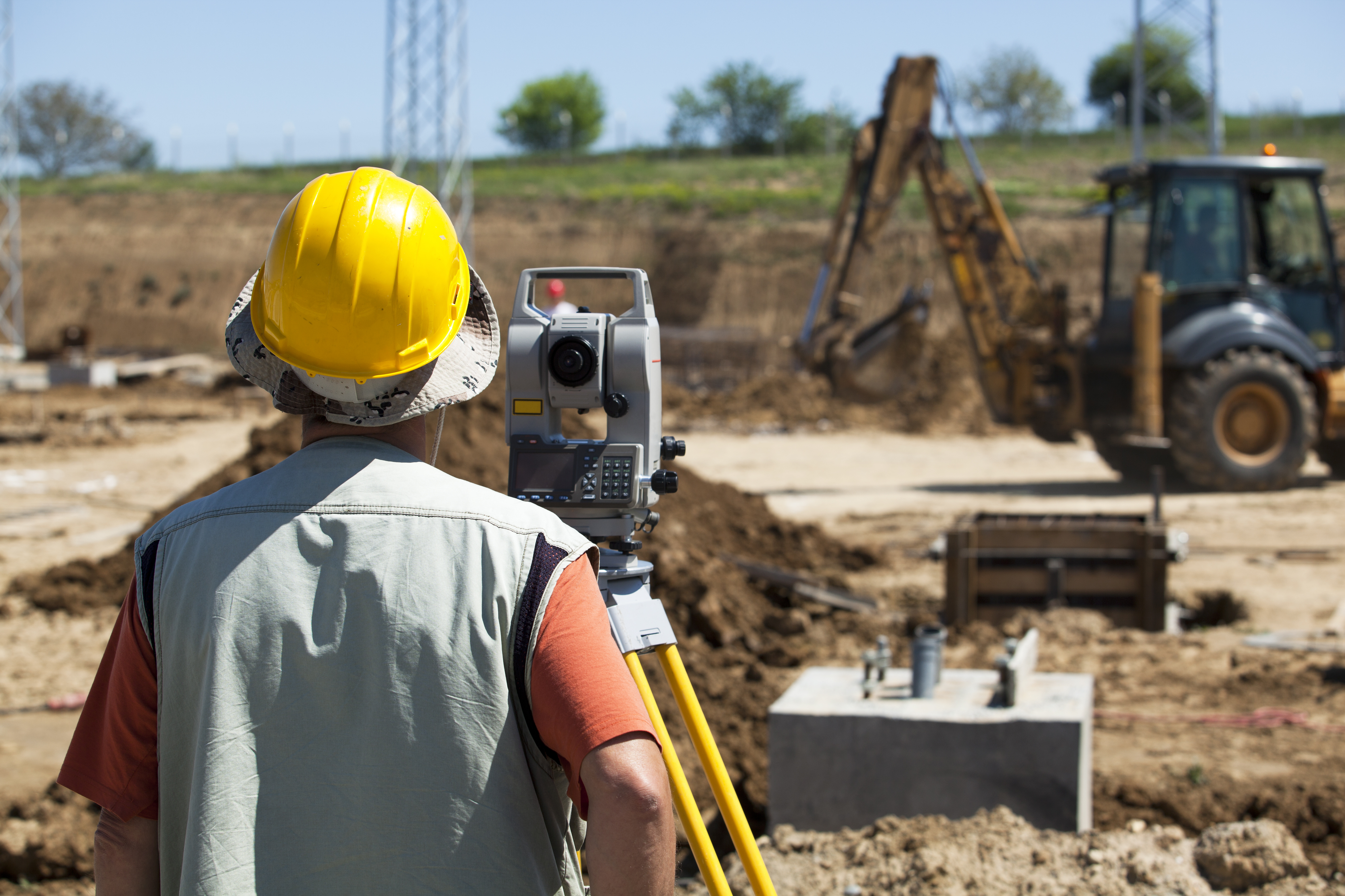
Getting Help from Land-Mark Professional Surveying, Inc.
You cannot afford to take a chance and try to conduct a survey yourself when mistakes can be so costly. With this in mind, choose a professional land surveyor in Odessa at Land-Mark Professional Surveying, Inc. You can also have a consummate professional perform your survey. So, don’t leave it up to chance, let the professionals do the hard work for you. Contact Land-Mark Professional Surveying, Inc. today!
A Land Survey Helps Avoid Cemeteries, Gas Lines, and More
9 September If you want to place boundaries in Odessa, maybe you should get a land survey in Odessa. Land measurements can be difficult to make since there are constant changes in elevation. Even where the terrain is flat, the lengths of the land can take time to accurately notate. That is why a land survey is important to have to mark territories. Land-Mark Professional Surveying is a company that provides accurate land surveying. Here is what landowners should know about a survey and how it can help them avoid future problems.
Land Survey in Odessa Presents Accurate Ownership
A land surveyor can measure land and determine the property’s physical and legal boundaries. Land survey maps are considered legally binding, and a surveyor is often called in court to support claims by either party that emanate from a map he has created. This is why accurate land surveying can help recover lost land. Without a survey, you may also be underestimating the size of your land.
A Survey Can Reveal Service Lines
When developing a property, it is crucial to follow zoning regulations. As a builder, you can only follow these regulations with an accurate survey. That’s because an accurate survey can show you where service lines. So, this includes electrical, water, and sewage lines that can mark where it is appropriate to build . This is crucial as it will avoid your property coming down for regulation violations.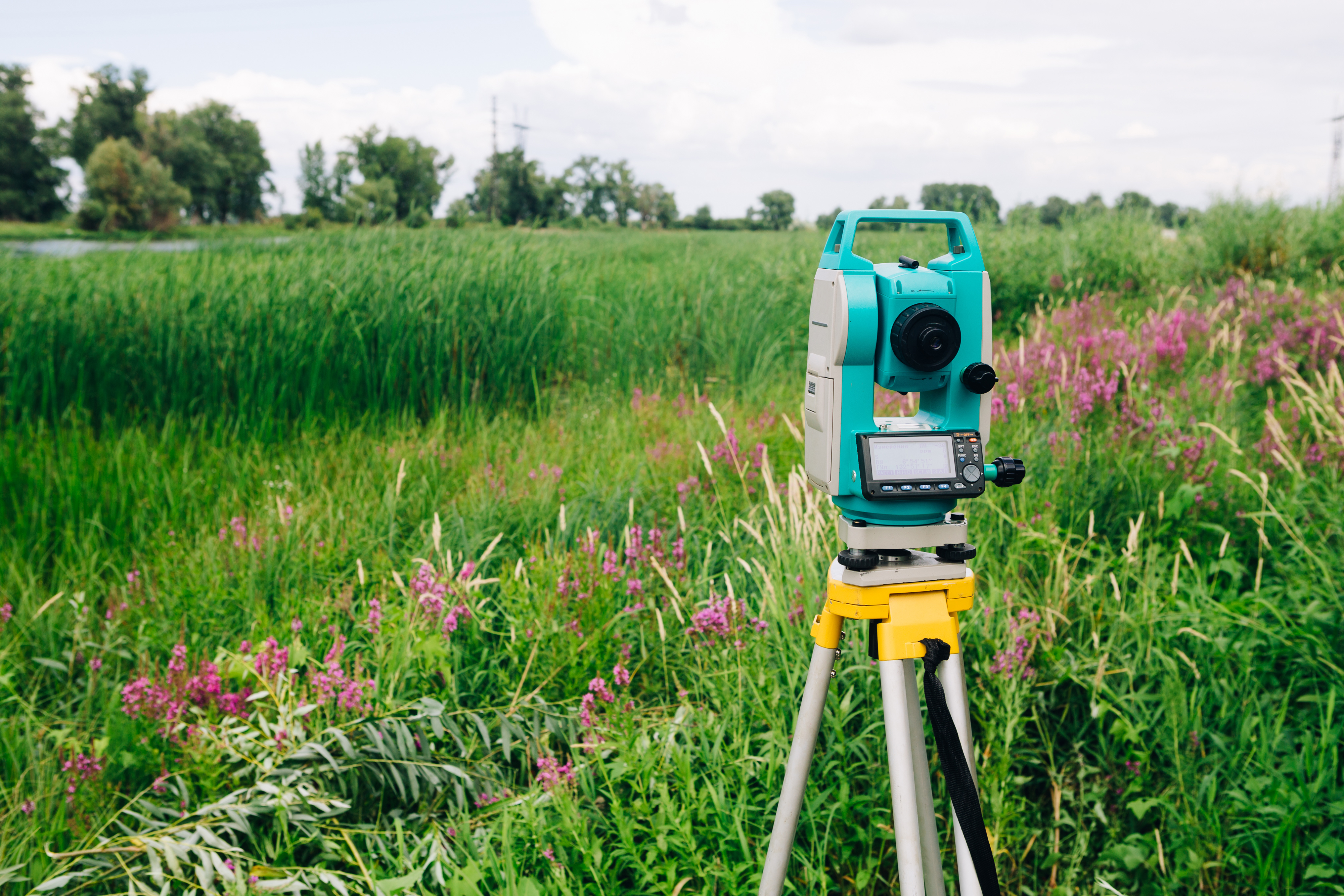
Safeguard Your Property
If there is ever a property dispute, a survey can provide a factual resolution. Without a survey map, any claim would be groundless. If the government is trying to acquire your land for public interests, you should receive compensation. But, without an accurate survey map, your land could be under appraised for its true value. By presenting the evidence of a land survey, you can regain the value of your land.
A land survey in Odessa can go a long way into protecting your rights as a land owner. So, by accurately representing the borders of your property, you value your land properly. At Land-Mark Professional Surveying, we want to use our experience to help you protect the land you own. So, contact Land-Mark Professional Surveying today!
How Does a Land Surveyor Actually Survey the Land?
26 August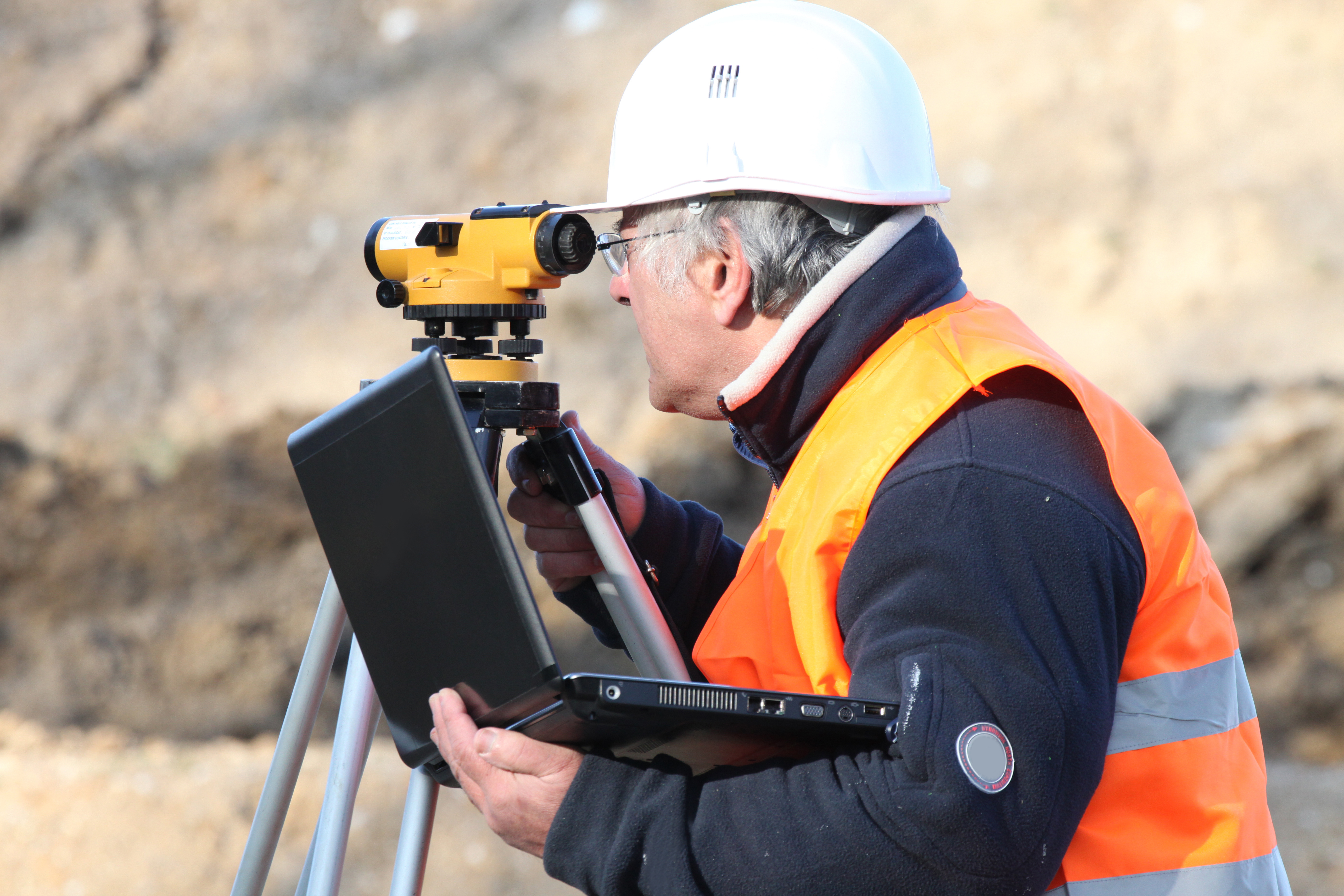 If you want to work on land in Las Cruces, you will want a land surveyor in Las Cruces. The work of a land surveyor still mystifies the general public. Land-Mark Professional Surveying, a land surveying company in the area, knows well what it takes to survey a piece of land. Modern land surveying involves sophisticated tools that enable the land surveyor to make very accurate measurements on land or sea.
The History of Land Surveying
Land surveying has been around since man started working on land and marking boundaries. In Egypt, the construction of pyramids has been proven to need the accuracy of a land surveyor. Today tools like GPS markers and Robotic Total Stations enable surveying over any terrain with great precision.
Instruments a Land Surveyor Uses
A land surveyor relies on specialized equipment like the Total Station. Based on the theodolite, which measures angles on the horizontal and vertical plane, the Total Station is a modern instrument. By using electronic distance measurements or EDM, Robotic Total Stations are fully automated. Furthermore, they also connect to a GPS for more accuracy. Surveyors also use specialized land surveying software that uses 3D modeling. With the help of programs like Auto CAD to translate collected data, surveyors can make full 3D diagrams and maps.
Steps in Surveying

There are several steps a land surveyor in Las Cruces must take to create a map. The first of which is to measure distance. Horizontal distance is the first taken from point to point using EDM. The surveyor can also use tachometry which is the science of measuring the angle between two objects with a known size. Because land terrain will always be at different angles, surveyors use the theodolite to take horizontal measurements. The last step is to level the different height measurements using the GPS.
A land surveyor in Las Cruces has a complicated job that could take weeks to complete. So, if you are looking to build on open land, a surveyor can give you vital information on the area. As an experienced surveying business, Land-Mark Professional Surveying can provide accurate information on any land you want to build on.
3 Common Uses for a Land Survey
19 August A land survey is important when entering into many kinds of real estate transactions and when investing in real estate. If you are purchasing, selling, or developing a property in the Odessa area, you need to get a land survey. This way, you will have the essential information you need about the land. This knowledge will prepare you to move forward. Land-Mark Professional Surveying, Inc. offers many different kinds of surveys and can perform the assessment of your land that you need.
3 Common Uses for a Land Survey
Many people in Odessa will get an ALTA/ACSM survey when they are purchasing a property. This kind of survey is a combination survey which looks at the boundaries of the land, which notes improvements of the land, and which provides a graphical representation of the territory. The information is helpful to title insurers because the ALTA/ACSM survey shows encumbrances, easements, right of ways, and related adjustments. The information also helps homeowners who know exactly what they are buying.
A second common use for a land survey is to identify topographic features. Topographic surveys use GPS and other technologies to determine specific places on the land and points on the land. A topographic survey can make it possible to create a base map, which allows for development.
Finally, a third type of land survey is a simple boundary survey. So boundary surveys help homeowners by letting them know where their own land ends and a neighbor’s land begins. A simple boundary survey is essential if the land needs any improvements to be done.
Getting a Land Survey in Odessa
Are you interested in a land survey for property that you are buying, selling, or developing? Then Land-Mark Professional Surveying, Inc. can provide you with the necessary services. Don’t go ahead until you’ve had a land survey done and completed! Get the right start. Contact Land-Mark Professional Surveying, Inc. today to learn more.
The Importance of Topographic Surveys
5 August Topographic surveys in Las Cruces NM are going to give you a complete picture of a plot of land. The information provided by these advanced surveys is needed. This way you can make informed choices when deciding the value of a piece of land for a particular purpose. You also need a high-quality and comprehensive topographic survey when planning development and beginning the construction phase. Land-Mark Professional Surveying can help.
Benefits of Topographic Surveys in Las Cruces, New Mexico
If you are a home building company, you already know the value of topographic surveys in Las Cruces NM. You will want a complete topographic survey of a plot of land where you plan to put your new building project so you can understand exactly what it is you are embarking on.
Topographic surveys in Las Cruces, NM help home builders. This way, builders understand what features exist on the land they are planning on developing. By using the information from the surveys, developers can determine exactly how to divide the lots, where houses should go, and how development can take place. When developing an attractive subdivision, the fullest potential of the land can be used.
Choose Us For Your Topographic Surveys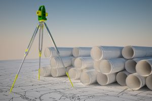
When you need topographic surveys in Las Cruces NM that cover a big plot of land and you need them to be accurate for your planning of suburban development, there is only one company to call. For this reason, Land-Mark Professional Surveying is trusted by builders and developers throughout the area.
Having a strong team at your side will yield the best results. To learn more about developers with topographic surveys in las Cruces NM, give us a call today. We will conduct your survey in a timely manner. A licensed professional will do the survey. This way, your development can begin quickly. Contact Land-Mark Professional Surveying today.