A Land Surveyor Can Help With Pre-Construction Planning
16 January A land surveyor in Odessa can add value to any project. Utilizing the guidance and expertise of a surveyor is crucial to wise pre-construction planning. They have a wealth of experience in mitigating risks, determining site conditions, minimizing cost delays and so much more!
What Does a Construction Survey Consist of?
A land surveyor conducts specific services for a construction survey. This starts with an assessment of the current site conditions. They will find out how the current land will stand up to above ground and in-ground building infrastructure. They will also collect topographic data to map areas for drainage, piping, and manholes. Surveyors also stake elevations for footings. When you employ an experienced surveyor chances are they are probably already familiar with the land that its at hand. They more than likely are already familiar with the area’s soil, water, natural soundings, habitats, and even protected species. This kind of invaluable information can prove to be invaluable.
How Does a Land Surveyor Help With Pre-Construction Planning?
A surveyor will do much more that site analysis and boundary surveys. They can help to diminish the risks of future and possible regulation enforcement. You can be sure to be free of delays in project schedules when you have a land surveyor on your team. With regulatory planning you can also rest easy knowing your project startups will run more efficiently. Your surveyor will also have established standards for quality control, work production, safety, and schedules. This kind of guidance will only lead to improved project progress and heightened quality.
A good surveying firm will also have software and technology at their fingertips to assist you with planning as well. They will provide data to build models and 3D mapping. Geographic Information System, GIS, software and Building Information Modeling, BIM, are powerful tools to assist with pre-construction. The GIS is great for large scale planning. It is often used for resource management, infrastructure management, zoning and boundaries, market analyses and more. The BIM is useful in planning physical features. This can include gas, power line, communication lines, roads, and more.
Contact Us Today
Land-Mark Professional Surveying, Inc. offers a wide variety of services. Our land surveyors have expert knowledge to assist with pre-construction planning as well as a variety of other boundary and site analysis needs. Contact us today to set up an appointment.
Do I Need to Hire a Land Surveyor or Can I Do It Myself?
23 September If you are buying or developing a property, you need a professional land surveyor in Odessa. Surveying is a highly technical art form and surveyors receive extensive training. They have knowledge of how to conduct surveys in accordance with appropriate standards, and they understand the requirements of surveying land to satisfy requirements by banks or zoning boards. Here at Land-Mark Professional Surveying, Inc., we have extensive experience and can provide the professional help you need to protect your property investment.
Why You Need to Hire a Land Surveyor in Odessa
You need to hire a land surveyor in Odessa when buying land if: land is going to be subdivided; a mortgage loan inspection is necessary; you are building a house; you are building any structure or making any improvements close to the property line; if you are securing permits or insurance including title insurance; or if there is a question about the location of the property line.
You cannot do the survey yourself unless you are credentialed and you have an understanding of formal protocols for performing and recording an accurate survey. Most banks, permit offices, insurers, and zoning boards have strict requirements in regards to the qualifications of surveyors in order to make sure everything is right. Land-Mark Professional Surveying, Inc. has the credentials necessary to prepare a survey that financial and governmental institutions will accept.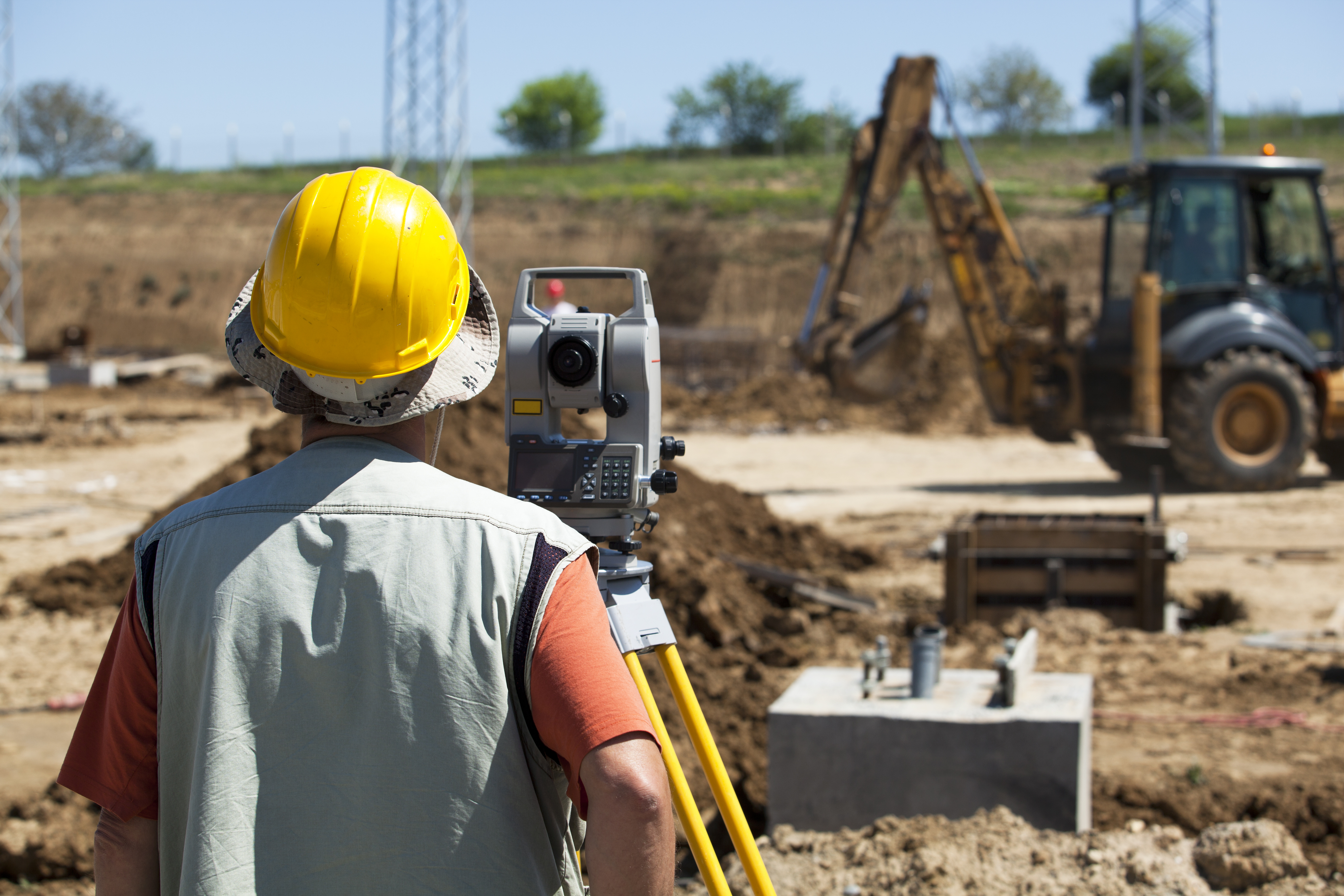
Getting Help from Land-Mark Professional Surveying, Inc.
You cannot afford to take a chance and try to conduct a survey yourself when mistakes can be so costly. With this in mind, choose a professional land surveyor in Odessa at Land-Mark Professional Surveying, Inc. You can also have a consummate professional perform your survey. So, don’t leave it up to chance, let the professionals do the hard work for you. Contact Land-Mark Professional Surveying, Inc. today!
A Land Survey Helps Avoid Cemeteries, Gas Lines, and More
9 September If you want to place boundaries in Odessa, maybe you should get a land survey in Odessa. Land measurements can be difficult to make since there are constant changes in elevation. Even where the terrain is flat, the lengths of the land can take time to accurately notate. That is why a land survey is important to have to mark territories. Land-Mark Professional Surveying is a company that provides accurate land surveying. Here is what landowners should know about a survey and how it can help them avoid future problems.
Land Survey in Odessa Presents Accurate Ownership
A land surveyor can measure land and determine the property’s physical and legal boundaries. Land survey maps are considered legally binding, and a surveyor is often called in court to support claims by either party that emanate from a map he has created. This is why accurate land surveying can help recover lost land. Without a survey, you may also be underestimating the size of your land.
A Survey Can Reveal Service Lines
When developing a property, it is crucial to follow zoning regulations. As a builder, you can only follow these regulations with an accurate survey. That’s because an accurate survey can show you where service lines. So, this includes electrical, water, and sewage lines that can mark where it is appropriate to build . This is crucial as it will avoid your property coming down for regulation violations.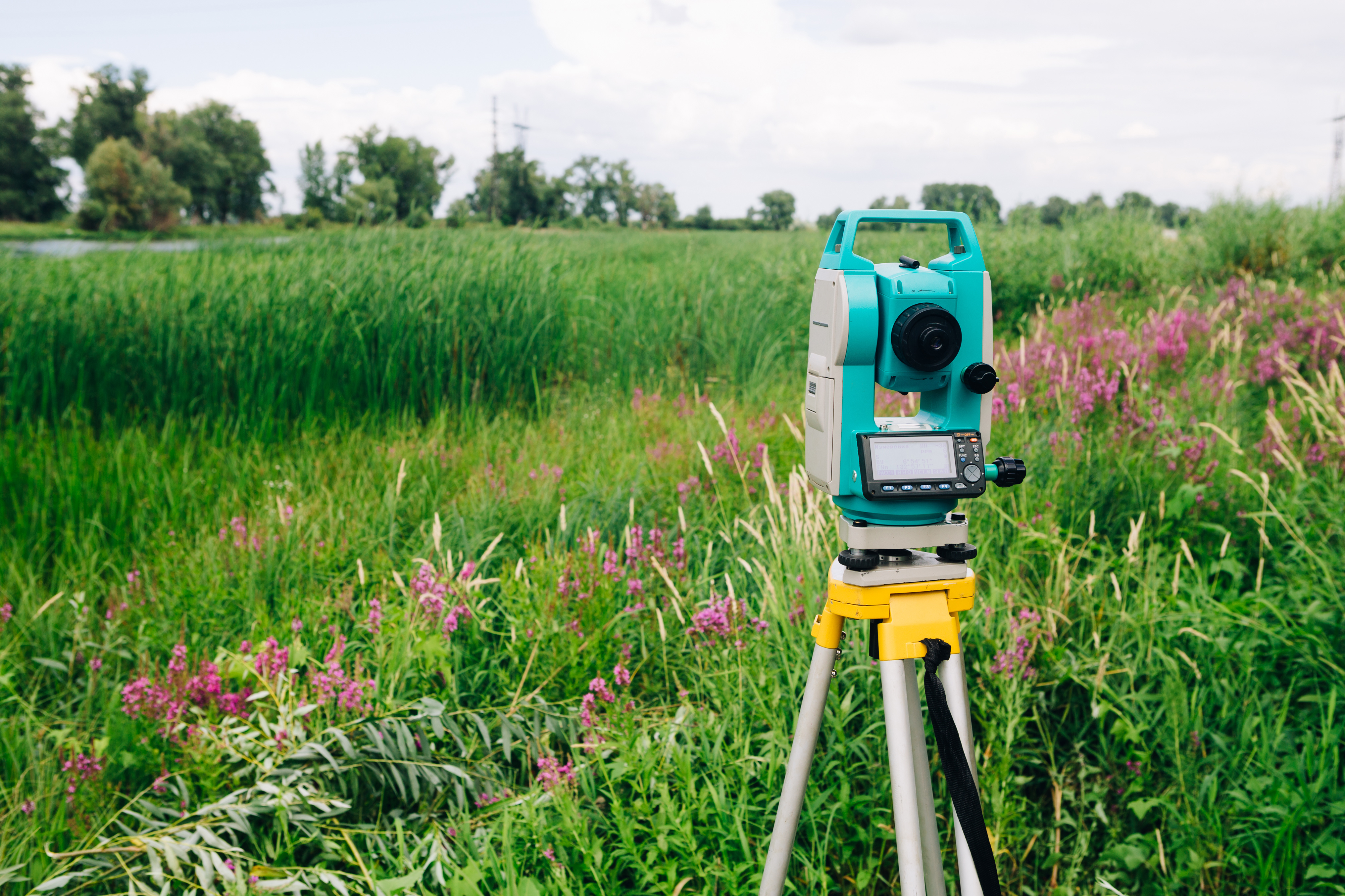
Safeguard Your Property
If there is ever a property dispute, a survey can provide a factual resolution. Without a survey map, any claim would be groundless. If the government is trying to acquire your land for public interests, you should receive compensation. But, without an accurate survey map, your land could be under appraised for its true value. By presenting the evidence of a land survey, you can regain the value of your land.
A land survey in Odessa can go a long way into protecting your rights as a land owner. So, by accurately representing the borders of your property, you value your land properly. At Land-Mark Professional Surveying, we want to use our experience to help you protect the land you own. So, contact Land-Mark Professional Surveying today!
3 Common Uses for a Land Survey
19 August A land survey is important when entering into many kinds of real estate transactions and when investing in real estate. If you are purchasing, selling, or developing a property in the Odessa area, you need to get a land survey. This way, you will have the essential information you need about the land. This knowledge will prepare you to move forward. Land-Mark Professional Surveying, Inc. offers many different kinds of surveys and can perform the assessment of your land that you need.
3 Common Uses for a Land Survey
Many people in Odessa will get an ALTA/ACSM survey when they are purchasing a property. This kind of survey is a combination survey which looks at the boundaries of the land, which notes improvements of the land, and which provides a graphical representation of the territory. The information is helpful to title insurers because the ALTA/ACSM survey shows encumbrances, easements, right of ways, and related adjustments. The information also helps homeowners who know exactly what they are buying.
A second common use for a land survey is to identify topographic features. Topographic surveys use GPS and other technologies to determine specific places on the land and points on the land. A topographic survey can make it possible to create a base map, which allows for development.
Finally, a third type of land survey is a simple boundary survey. So boundary surveys help homeowners by letting them know where their own land ends and a neighbor’s land begins. A simple boundary survey is essential if the land needs any improvements to be done.
Getting a Land Survey in Odessa
Are you interested in a land survey for property that you are buying, selling, or developing? Then Land-Mark Professional Surveying, Inc. can provide you with the necessary services. Don’t go ahead until you’ve had a land survey done and completed! Get the right start. Contact Land-Mark Professional Surveying, Inc. today to learn more.
How is an ALTA Survey Useful?
25 January
If you have recently acquired a large piece of land in Odessa TX, an ALTA survey can help you understand exactly what your land encompasses. When you inherit land, you may not have an updated survey and the property may not have been surveyed for a long time. In order to know the value of the land, to put it to use, to begin making improvements, or to sell it, you must know exactly what you are working with. Typically, this means having a new survey to update the boundaries, as well as doing research to ensure you have clean title and to understand all easements and encumbrances on the property.
Why do You Need an ALTA Survey?
An ALTA survey can give you the most comprehensive look at what your land includes. Some surveys do not provide the same level of detailed information as an ALTA survey, leaving you guessing or uncertain about some aspects of land ownership. You want to know exactly what you have inherited so you have a full understanding of your rights. This means getting an ALTA survey on Odessa TX performed by a qualified and experienced survey professional.
What does an ALTA Survey Show?
An ALTA survey gets its name because it meets the detailed specifications set by the American Land Title Association. It also meets requirements set forth by the American Congress of Surveying and Mapping. The survey shows the boundaries of the property, but it also shows much more. It shows the location of all structures on the property (including fences) as well as the location of utility lines and easements.
Landmark Professional Survey can perform an ALTA survey in Odessa TX after you inherit a plot of land. Contact us today to schedule a survey so you can move forward knowing what your inheritance encompassed.